
 Image 1 of 1
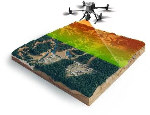
LiDAR captures high-density 3D data to map terrain, structures, and environments with exceptional detail—supporting surveying, topographic mapping, modeling, and other geospatial applications.
LiDAR captures high-density 3D data to map terrain, structures, and environments with exceptional detail—supporting surveying, topographic mapping, modeling, and other geospatial applications.