
 Image 1 of 1
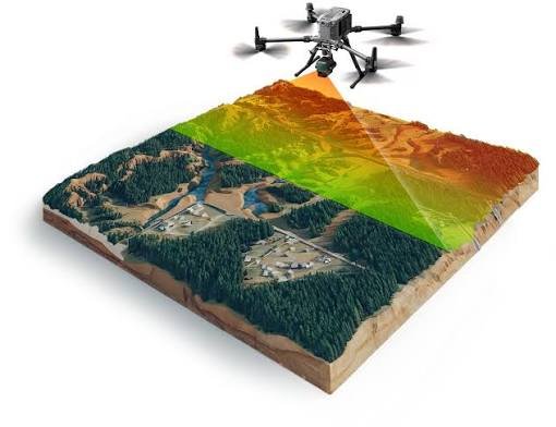
Capture detailed, high-accuracy data from above for topographic scanning, terrain modeling, site planning, and 3D point cloud generation—providing the precise aerial data your project needs.
Capture detailed, high-accuracy data from above for topographic scanning, terrain modeling, site planning, and 3D point cloud generation—providing the precise aerial data your project needs.