
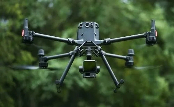
Aerial Data Captured for Your Workflow.
Skyway Cams is your aerial data acquisition and retrieval partner.
We provide high-quality aerial data to businesses that need reliable information from above—without the time, cost, and risk of putting people and equipment in the field.
Using enterprise-grade UAVs and advanced sensors, we capture and securely deliver the raw data your project requires, including RGB and thermal imagery, LiDAR, multispectral data, and high-resolution video.
Our job is to: capture data so you don’t have to, get it to you, and keep your project moving.
From construction sites and infrastructure to photogrammetry, energy, utilities, real estate and other specialized applications, Skyway Cams provides efficient, repeatable aerial data acquisition designed around your project requirements.
You bring the expertise to process, analyze, and use the data. We make sure you have the data you need to do it with.
Your Data. Your Workflow.
We capture it. We deliver it. You process it. You put it to work.
d
Skyway Cams Professional Services
Aerial Data. Delivered.
Skyway Cams is your aerial data acquisition and retrieval partner.
We capture high-quality aerial data and deliver the raw files directly to you—ready for your processing, analysis, and workflow.
From RGB and thermal imagery to LiDAR, multispectral data, and high-resolution video, our drone platforms are built to collect the information you need while reducing time in the field, minimizing risk, and keeping your projects moving.
1. Autonomous Data Acquisition
Our fleet of enterprise-grade UAVs and advanced sensors allows us to efficiently capture detailed aerial data across a wide range of environments and applications.
We plan and execute precise autonomous flight missions optimized for coverage, ground sampling distance, and data overlap, with RTK positioning available when required for high-accuracy applications.
Whether you need a single inspection or repeatable data collection across a large site, we capture the data your team needs—safely, efficiently, and consistently.
2. Secure Data Retrieval
Getting the data is only half the job. Getting it into your hands quickly is the other.
Skyway Cams is designed to minimize the time between field capture and office processing. Your raw aerial data is securely offloaded and transferred using high-speed data infrastructure, including 5G connectivity when available.
We deliver your captured data securely and efficiently so your team can get to work without unnecessary delays.
Industries We Serve:
Construction & Infrastructure — progress monitoring, site documentation, inspections, stockpile measurements, material inventory, safety monitoring and orthomosaic mapping.
Surveying & Geospatial — topographic surveys, LiDAR, orthomosaic, 3D models, and terrain mapping.
Energy & Utilities — power lines, solar farms, substations, pipelines, and thermal inspections.
Agriculture — crop health, multispectral imaging, irrigation monitoring, and field analysis.
Mining & Aggregates — stockpile volumes, site mapping, excavation monitoring, and terrain data.
Property Management & Building Inspection — roof condition, thermal anomalies, concrete, paving and exterior inspections.
Real Estate & Property Development — aerial photography, site documentation, development and marketing imagery.
Insurance — property inspections, storm damage documentation, and claims assessment.
Transportation — roads, bridges, railways, airports, and other transportation infrastructure inspections.
Keep projects moving while reducing personnel in the field and minimizing exposure to high-risk environments. Whatever the application, Skyway Cams captures and delivers the aerial data you need to make informed decisions, improve efficiency, and move your project forward.
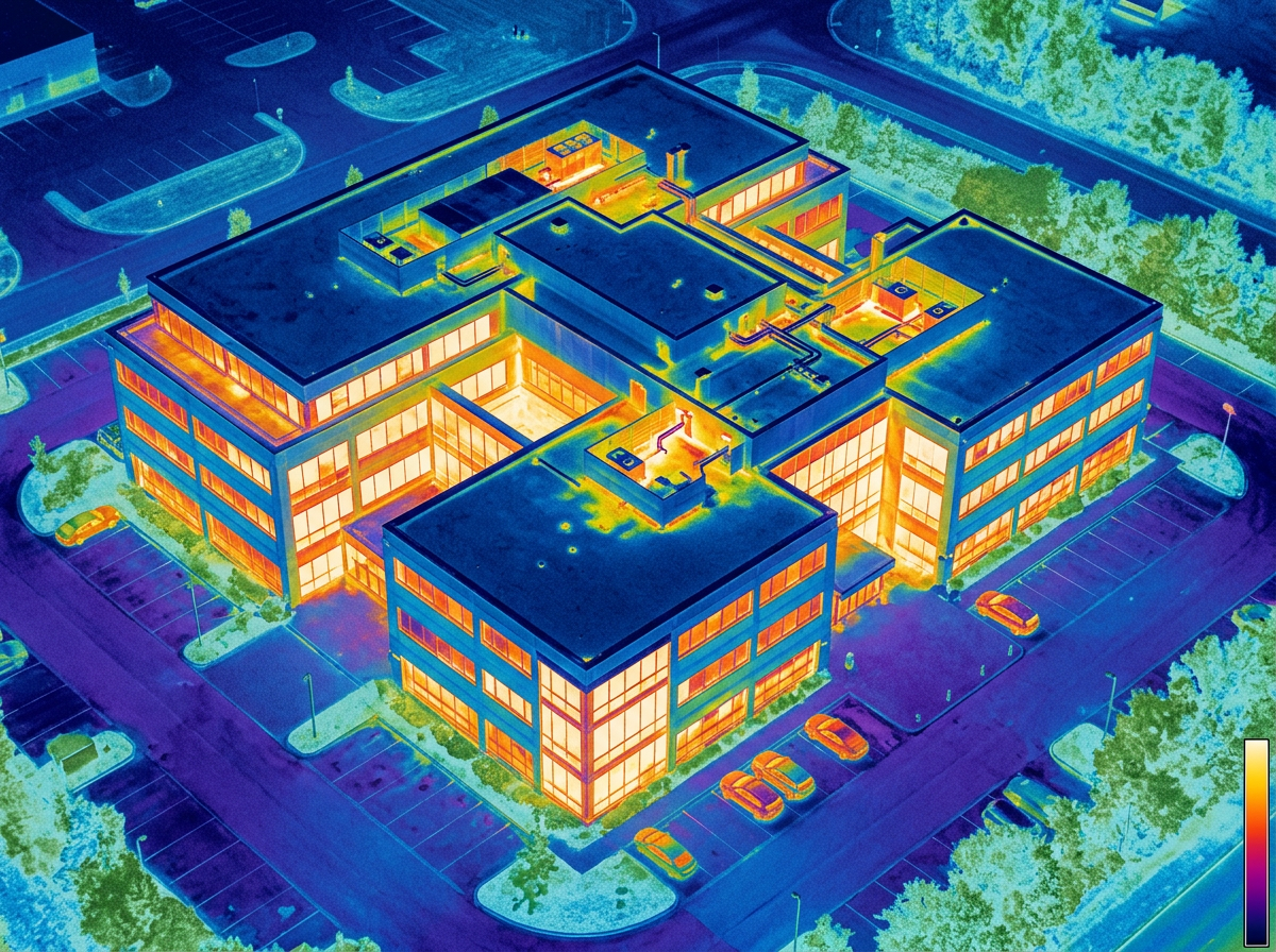
Drone thermal imaging provides detailed infrared data to identify temperature variations, detect potential issues, and inspect equipment, structures, and assets that may be difficult to assess from the ground with improve safety and efficiency.
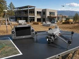
Construction monitoring provides high-resolution aerial imagery and data to track site progress, document project milestones, monitor changes, and maintain an accurate visual record of construction from start to finish.
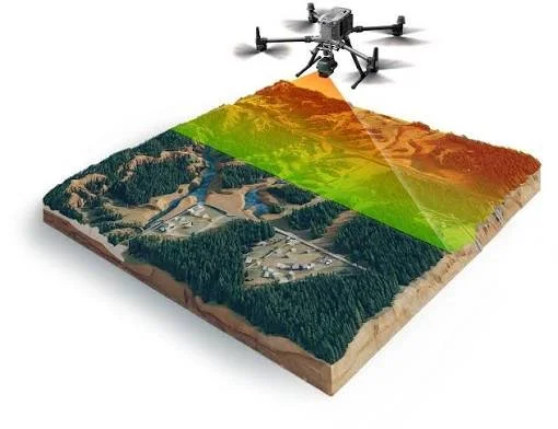
LiDAR captures high-density 3D data to map terrain, structures, and environments with exceptional detail—supporting surveying, topographic mapping, modeling, and other geospatial applications.
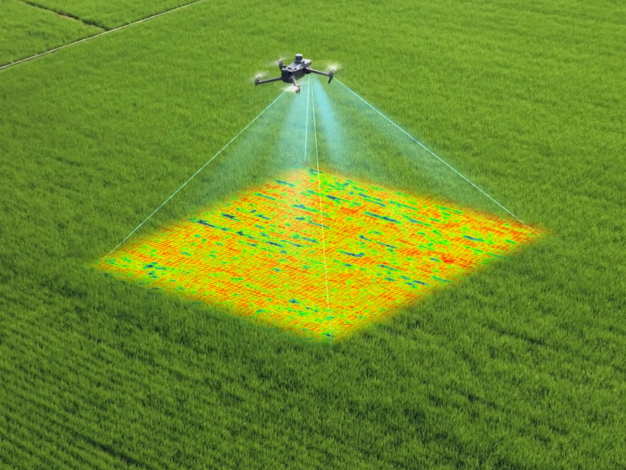
Multispectral imaging captures data across multiple wavelengths of light to reveal details beyond what the human eye can see, supporting vegetation analysis, crop health assessment, environmental monitoring, and other specialized applications.
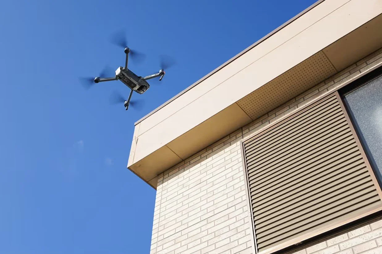
Property Inspections & Management
Efficient aerial inspections and high-resolution imagery to document property conditions, identify potential issues, and monitor multiple properties with consistent, repeatable data.
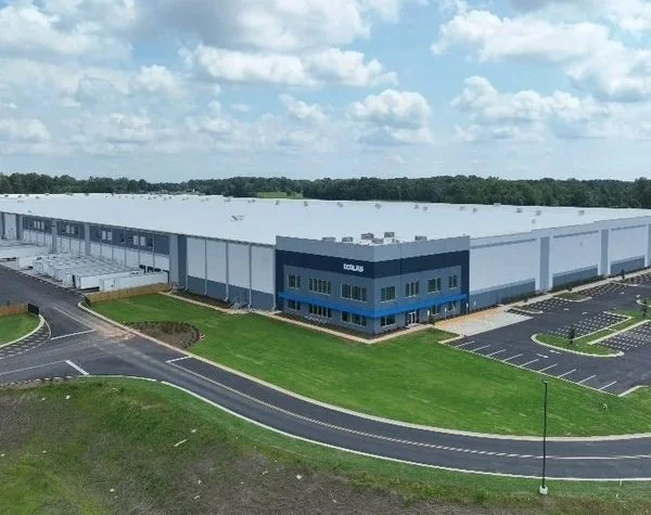
High-resolution aerial imagery and video for property marketing, site documentation, development progress, and showcasing properties from a whole new perspective.
SKYWAY CAMS IN ACTION
Real projects. Real aerial data. Real-world results.
Take a look at some of the aerial data captured by Skyway Cams across a variety of environments, projects, and applications.
From detailed RGB imagery and high-resolution video to thermal, LiDAR, and other specialized datasets, our portfolio gives you a look at the quality, detail, and capabilities we bring to every mission.
Initiate a Project Inquiry
Submit project parameters to receive a tailored flight plan and timeline assessment.